Overviews and Maps
Aerial images or general vistas of the gardens including early photos from c.1860s.
Click on an image to enlarge.
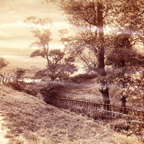
Valley Gardens - c.1860s - Magnesia Well Pump Room in center of photo*
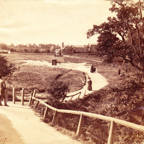
Valley Gardens and Old Magnesia Well Pump Room - c.1860s
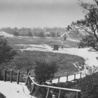
Path to Bogs Field from Valley Drive c.1860s*
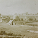
Magnesia Well Pump Room c.1880*
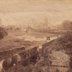
Early Valley Gardens*
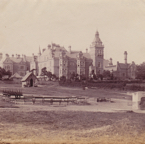
Magnesia Well Pump Room and Hospital*
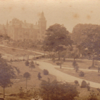
Bogs Valley Gardens*
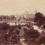
Bogs Valley Gardens*
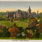
Valley Gardens
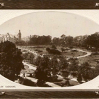
Collins Field Extension c.1900
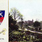
Valley Gardens and Bath Hospital*
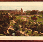
Valley Gardens Overview c.1922*
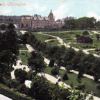
Royal Baths Hospital and Central Area c.1907*
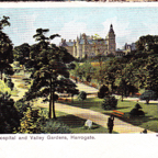
Royal Bath Hospital and Valley Gardens c.1903*
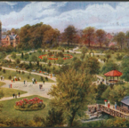
Valley Gardens Showing Tea House, Bandstand, and Cafe
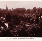
Valley Gardens Central Area with Original Tea House and Open Bandstand*
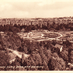
Valley Gardens Central Area
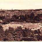
Valley Gardens from the Air - Central Area*
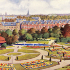
Central Area c.1907*
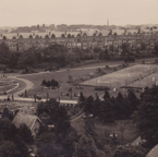
Central Area with tennis courts east of the walkway*
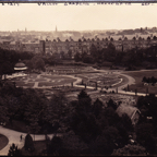
Central Area c. 8 Sep 1926* - Note the well heads and the exposed boating pond
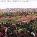
Valley Gardens Tennis Courts
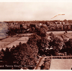
Valley Drive and Tennis Courts*
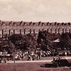
Valley Drive c.1912
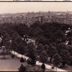
c.1920*
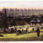
Valley Drive
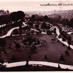
Central Area c.1905*
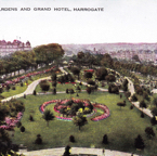
c.1905*
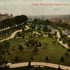
c. 1921
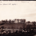
Grand Hotel from Magnesia Well Cafe - 30 Mar 1903 28-49
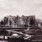
The Grand Hotel and Valley Gardens*
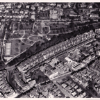
Valley Gardens from the Air - Eastern Portion*
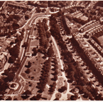
Valley Gardens from the Air - Eastern Portion c.1909*
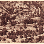
Valley Gardens and the Grand Hotel from the Air
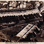
Valley Gardens from the Air - Tennis Courts*
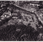
Western Valley Gardens from the air west to east*
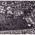
Golf Course from the Air*
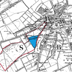
Map of Bogs Field 1778
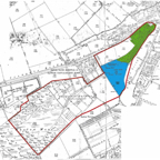
Map of Original Pleasure Grounds 1886
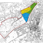
Extension of the Gardens to Collins Field 1901 and Bogs Field 1911